

Projects on
the Horizon
Program for the
Expansion of Recharge
Capacity
The Program for the Expansion of Recharge Capacity (PERC) advances regional groundwater management through applied science and coordinated planning. Developed under the Upper Santa Ana River Habitat Conservation Plan, the program identifies specific projects that improve recharge performance and sustain habitat function.
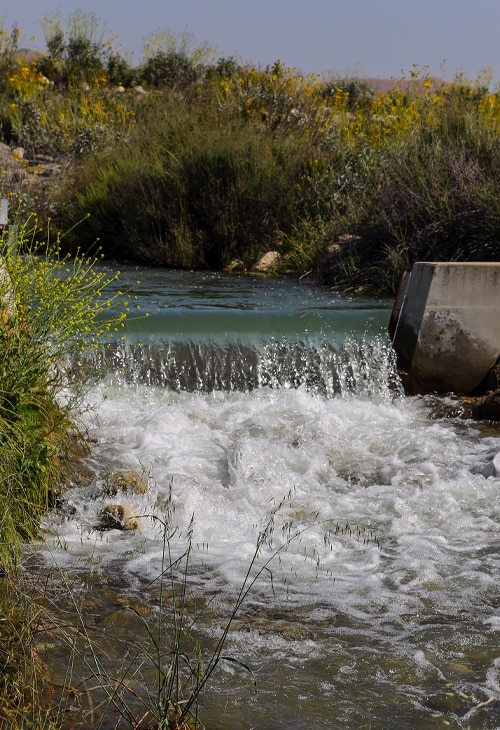
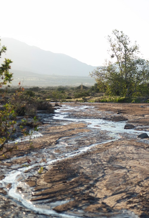
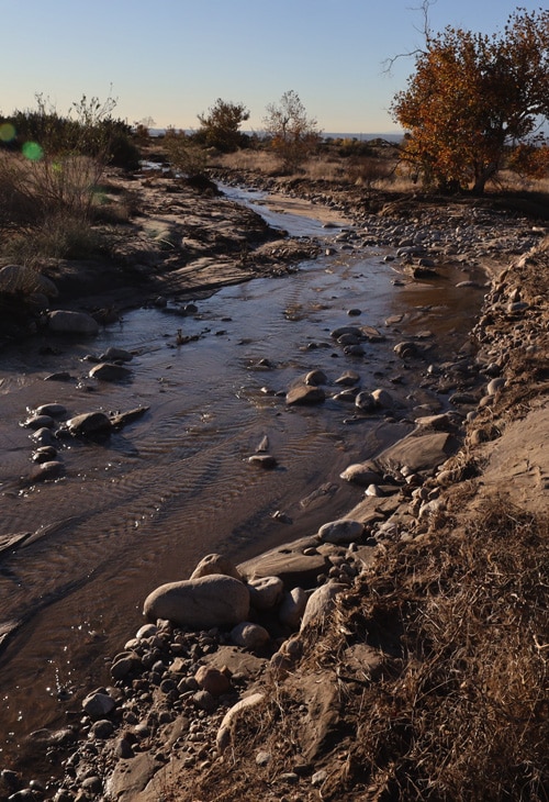
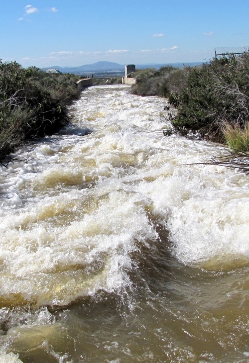
The feasibility studies assess six recharge sites within the Waterman, Twin, Lynwood, Oak Creek, Plunge Creek, and Mill Creek watersheds. Each site was evaluated for hydrology, grading design, operational potential, and environmental conditions. A consistent analytical framework ranked project alternatives based on recharge benefit, cost, constructability, social considerations, and legal factors.
Preferred alternatives indicate the potential to add about 13,000 acre-feet of annual recharge capacity to the Bunker Hill Basin and adjacent areas. These findings define clear next steps for design, environmental review, and funding within a data-driven approach to resource stewardship.
* Final Program for Expansion of Recharge Capacity (PERC) Feasibility Study Synopsis
* Final Volume 1 Program for Expansion of Recharge Capacity (PERC) Comprehensive Feasibility Study
* Volume 2 Program for Expansion of Recharge Capacity (PERC) Comprehensive Feasibility Study
* Volume 3 Program for Expansion of Recharge Capacity (PERC) Comprehensive Feasibility Study
* Volume 4 Program for Expansion of Recharge Capacity (PERC) Comprehensive Feasibility Study
Investing in Quality
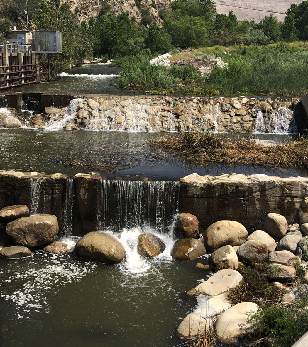
Native surface water from the Santa Ana River and Mill Creek is an asset for water quality. When storms arrive and treatment plants cannot use the full flow, the District diverts water to spreading basins where it blends with groundwater. Regular sampling shows improvements in key indicators such as total dissolved solids and inorganic nitrogen in areas influenced by this recharge. Planned projects continue this focus. Facilities are being evaluated for improved capture during short storm peaks, better sediment management to keep infiltration high, and expanded monitoring to verify outcomes. Each step strengthens the basin’s quality profile and reduces future treatment burdens for retail providers.
Preparing
for a Variable Climate
The District’s planning recognizes that climate variability will continue to shape local water conditions. More frequent droughts, shorter wet seasons, and higher temperatures require systems that can capture, store, and distribute water efficiently. Long-term resiliency planning addresses these challenges through a combination of infrastructure upgrades, environmental restoration, and data-driven management.
Projects such as the Enhanced Recharge Agreement, Plunge Creek restoration, and the Wash Plan Preserve reflect this integrated approach. Each one improves groundwater reliability while supporting habitats that depend on periodic flooding. This coordination ensures that water supplies remain stable even as weather patterns become less predictable.
Balancing
the Basin
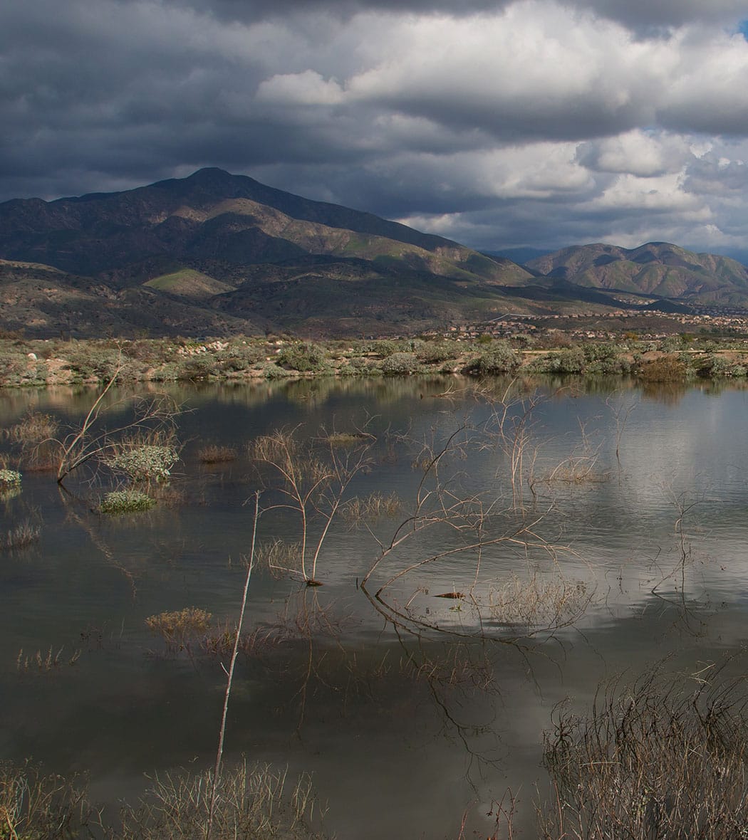
Groundwater moves from east to west beneath the Valley. Geology, including the San Jacinto Fault, influences how and where it surfaces. The District’s work helps to maintain levels that protect both supply and safety. Coordination includes recharge of water directed to the District’s basins from the State Project and partner’s local water rights, and monitoring that guides adjustments through the year. Planned efforts build on this approach. Upgrades to conveyance, optimization of basin operations, and refined data systems support real-time decisions. Balance comes from many aligned actions carried out with patience and care.